
Orchard Island topographic map
Interactive map
Click on the map to display elevation.
About this map
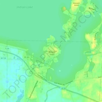
Name: Orchard Island topographic map, elevation, terrain.
Average elevation: 304 m
Minimum elevation: 295 m
Maximum elevation: 315 m
Other topographic maps
Click on a map to view its topography, its elevation and its terrain.
McCracken-Myrtle Park
États-Unis d'Amérique > Ohio > Comté de Logan > Bellefontaine
McCracken-Myrtle Park, Bellefontaine, Lake Township, Comté de Logan, Ohio, États-Unis d'Amérique
Average elevation: 376 m