
Saint Heliers topographic map
Interactive map
Click on the map to display elevation.
About this map
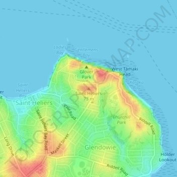
Name: Saint Heliers topographic map, elevation, terrain.
Location: Saint Heliers, Ōrākei, Auckland, 1074, Nouvelle-Zélande (-36.84928 174.86829 -36.84918 174.86839)
Average elevation: 16 m
Minimum elevation: 0 m
Maximum elevation: 65 m