
Manila topographic map
Interactive map
Click on the map to display elevation.
About this map
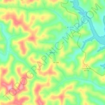
Name: Manila topographic map, elevation, terrain.
Location: Manila, Johnson County, Kentucky, 41238, United States (37.82287 -82.93544 37.86287 -82.89544)
Average elevation: 286 m
Minimum elevation: 205 m
Maximum elevation: 393 m