
Évora topographic map
Interactive map
Click on the map to display elevation.
About this map
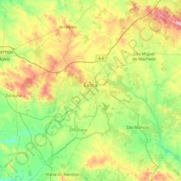
Name: Évora topographic map, elevation, terrain.
Location: Évora, Portugal (38.34068 -8.16570 38.76820 -7.55494)
Average elevation: 247 m
Minimum elevation: 112 m
Maximum elevation: 550 m