
Medora topographic map
Interactive map
Click on the map to display elevation.
About this map
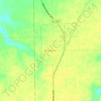
Name: Medora topographic map, elevation, terrain.
Location: Medora, Macoupin County, Illinois, États-Unis d'Amérique (39.16720 -90.14712 39.18172 -90.13385)
Average elevation: 184 m
Minimum elevation: 169 m
Maximum elevation: 190 m
Other topographic maps
Click on a map to view its topography, its elevation and its terrain.
Sawyerville
États-Unis d'Amérique > Illinois > Macoupin County
Sawyerville, Macoupin County, Illinois, 62085, États-Unis d'Amérique
Average elevation: 189 m