
McCabe topographic map
Interactive map
Click on the map to display elevation.
About this map
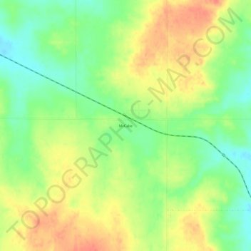
Name: McCabe topographic map, elevation, terrain.
Location: McCabe, Roosevelt County, Montana, États-Unis d'Amérique (48.22363 -104.39773 48.26363 -104.35773)
Average elevation: 680 m
Minimum elevation: 653 m
Maximum elevation: 708 m