
Thank you for supporting this site ❤️
Make a donation
Make a donation
Tongoma topographic map
Click on the map to display elevation.
Thank you for supporting this site ❤️
Make a donation
Make a donation
About this map
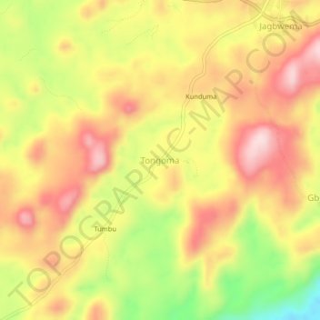
Name: Tongoma topographic map, elevation, terrain.
Location: Tongoma, Kono District, Eastern Province, Sierra Leone (8.58868 -10.85854 8.62868 -10.81854)
Average elevation: 463 m
Minimum elevation: 292 m
Maximum elevation: 587 m
Thank you for supporting this site ❤️
Make a donation
Make a donation