
Jaarsveld topographic map
Interactive map
Click on the map to display elevation.
About this map
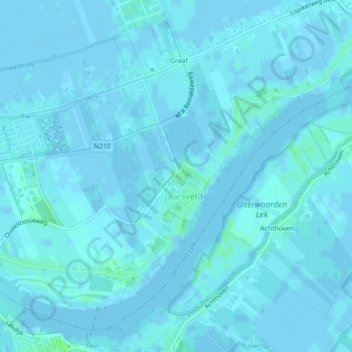
Name: Jaarsveld topographic map, elevation, terrain.
Location: Jaarsveld, Lopik, Utrecht, Niederlande (51.96721 4.96998 51.97483 4.98226)
Average elevation: 1 m
Minimum elevation: -3 m
Maximum elevation: 7 m
Other topographic maps
Click on a map to view its topography, its elevation and its terrain.
Zuidzijde
Niederlande > Utrecht > Lopik
Zuidzijde, Lopik, Utrecht, Niederlande, 3405XP, Niederlande
Average elevation: -1 m