
Thank you for supporting this site ❤️
Make a donation
Make a donation
Kampong Trach topographic map
Click on the map to display elevation.
Thank you for supporting this site ❤️
Make a donation
Make a donation
About this map
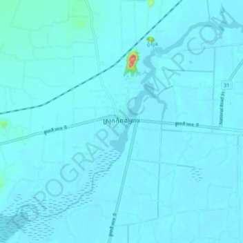
Name: Kampong Trach topographic map, elevation, terrain.
Location: Kampong Trach, Kampot, Cambodia (10.51719 104.42790 10.59719 104.50790)
Average elevation: 8 m
Minimum elevation: -1 m
Maximum elevation: 146 m
Thank you for supporting this site ❤️
Make a donation
Make a donation
Other topographic maps
Click on a map to view its topography, its elevation and its terrain.