
Thank you for supporting this site ❤️
Make a donation
Make a donation
Wilma topographic map
Click on the map to display elevation.
Thank you for supporting this site ❤️
Make a donation
Make a donation
About this map
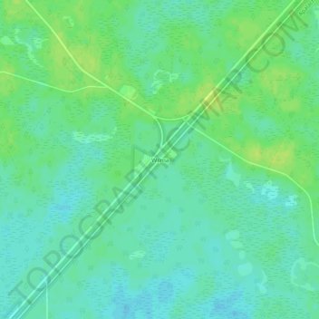
Name: Wilma topographic map, elevation, terrain.
Location: Wilma, Liberty County, Florida, United States (30.13437 -84.98436 30.17437 -84.94436)
Average elevation: 17 m
Minimum elevation: 10 m
Maximum elevation: 24 m
Thank you for supporting this site ❤️
Make a donation
Make a donation
Other topographic maps
Click on a map to view its topography, its elevation and its terrain.