
Kalapipal topographic map
Interactive map
Click on the map to display elevation.
About this map
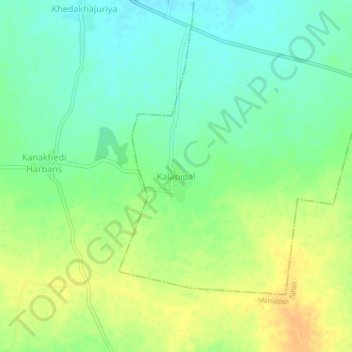
Name: Kalapipal topographic map, elevation, terrain.
Location: Kalapipal, Jharda Tahsil, Nagda, Madhya Pradesh, India (23.42197 75.78386 23.46197 75.82386)
Average elevation: 507 m
Minimum elevation: 493 m
Maximum elevation: 524 m
Other topographic maps
Click on a map to view its topography, its elevation and its terrain.
Kalapipal
India > Madhya Pradesh > Jharda Tahsil > Kalapipal
Kalapipal, Jharda Tahsil, Ujjain District, Madhya Pradesh, India
Average elevation: 510 m