
Moró topographic map
Interactive map
Click on the map to display elevation.
About this map
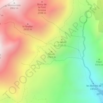
Name: Moró topographic map, elevation, terrain.
Location: Moró, Sort, Pallars Sobirà, Lérida, Catalunha, 25560, Espanha (42.49025 1.04441 42.49035 1.04451)
Average elevation: 2,138 m
Minimum elevation: 1,464 m
Maximum elevation: 2,850 m