
Panchgani topographic map
Click on the map to display elevation.
About this map
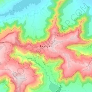
Name: Panchgani topographic map, elevation, terrain.
Location: Panchgani, Mahabaleshwar, Satara, Maharashtra, 412805, India (17.88395 73.75927 17.96395 73.83927)
Average elevation: 1,019 m
Minimum elevation: 726 m
Maximum elevation: 1,353 m