
Thank you for supporting this site ❤️
Make a donation
Make a donation
Custer Lookout topographic map
Click on the map to display elevation.
Thank you for supporting this site ❤️
Make a donation
Make a donation
About this map
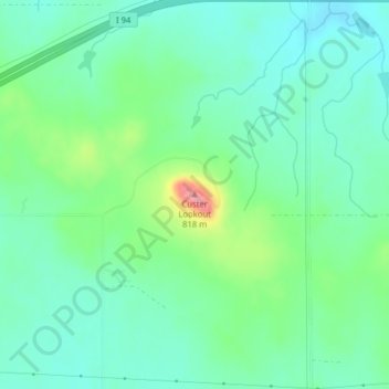
Name: Custer Lookout topographic map, elevation, terrain.
Location: Custer Lookout, Stark County, North Dakota, United States (46.84940 -102.17161 46.84950 -102.17151)
Average elevation: 746 m
Minimum elevation: 717 m
Maximum elevation: 824 m
Thank you for supporting this site ❤️
Make a donation
Make a donation
Other topographic maps
Click on a map to view its topography, its elevation and its terrain.