
Thank you for supporting this site ❤️
Make a donation
Make a donation
Herongate topographic map
Click on the map to display elevation.
Thank you for supporting this site ❤️
Make a donation
Make a donation
About this map
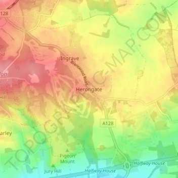
Name: Herongate topographic map, elevation, terrain.
Location: Herongate, Brentwood, Essex, England, CM13 3PB, United Kingdom (51.57729 0.32795 51.61729 0.36795)
Average elevation: 66 m
Minimum elevation: 16 m
Maximum elevation: 107 m
Thank you for supporting this site ❤️
Make a donation
Make a donation
Other topographic maps
Click on a map to view its topography, its elevation and its terrain.