
Thank you for supporting this site ❤️
Make a donation
Make a donation
Sulit topographic map
Click on the map to display elevation.
Thank you for supporting this site ❤️
Make a donation
Make a donation
About this map
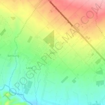
Name: Sulit topographic map, elevation, terrain.
Location: Sulit, Polomolok, South Cotabato, Soccsksargen, Philippines (6.21613 125.00380 6.25613 125.04380)
Average elevation: 341 m
Minimum elevation: 275 m
Maximum elevation: 428 m
Thank you for supporting this site ❤️
Make a donation
Make a donation
Other topographic maps
Click on a map to view its topography, its elevation and its terrain.