
Reken topographic map
Interactive map
Click on the map to display elevation.
About this map
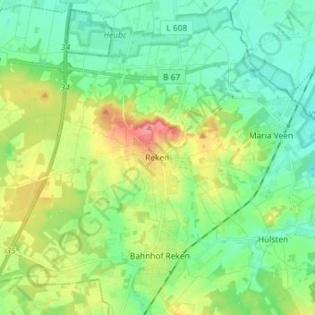
Name: Reken topographic map, elevation, terrain.
Location: Reken, Kreis Borken, Noordrijn-Westfalen, 48734, Duitsland (51.79110 7.00418 51.87110 7.08418)
Average elevation: 78 m
Minimum elevation: 52 m
Maximum elevation: 135 m