
Squaw Hill topographic map
Interactive map
Click on the map to display elevation.
About this map
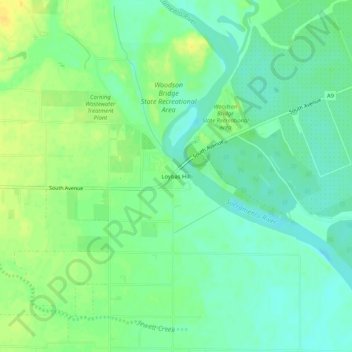
Name: Squaw Hill topographic map, elevation, terrain.
Location: Squaw Hill, Tehama County, California, 96501, USA (39.88794 -122.11304 39.92794 -122.07304)
Average elevation: 60 m
Minimum elevation: 50 m
Maximum elevation: 73 m