
Mountain View Estates topographic map
Interactive map
Click on the map to display elevation.
About this map
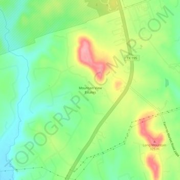
Name: Mountain View Estates topographic map, elevation, terrain.
Location: Mountain View Estates, Bell County, Texas, USA (30.98518 -97.78280 31.02518 -97.74280)
Average elevation: 264 m
Minimum elevation: 218 m
Maximum elevation: 335 m