
Thank you for supporting this site ❤️
Make a donation
Make a donation
Luttenberg topographic map
Click on the map to display elevation.
Thank you for supporting this site ❤️
Make a donation
Make a donation
About this map
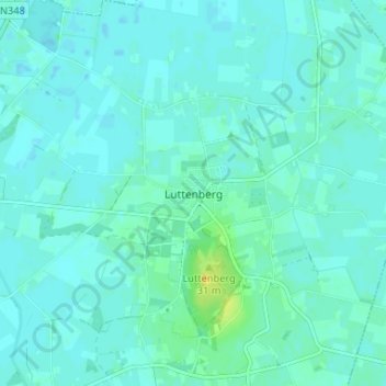
Name: Luttenberg topographic map, elevation, terrain.
Location: Luttenberg, Overijssel, Nederland, 8105, Nederland (52.38640 6.34548 52.42640 6.38548)
Average elevation: 8 m
Minimum elevation: 4 m
Maximum elevation: 28 m
Thank you for supporting this site ❤️
Make a donation
Make a donation