
Thank you for supporting this site ❤️
Make a donation
Make a donation
Mount Vernon topographic map
Click on the map to display elevation.
Thank you for supporting this site ❤️
Make a donation
Make a donation
About this map
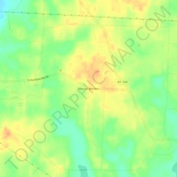
Name: Mount Vernon topographic map, elevation, terrain.
Location: Mount Vernon, Columbia County, Arkansas, United States (33.30957 -93.40017 33.34957 -93.36017)
Average elevation: 94 m
Minimum elevation: 74 m
Maximum elevation: 110 m
Thank you for supporting this site ❤️
Make a donation
Make a donation
Other topographic maps
Click on a map to view its topography, its elevation and its terrain.