Castil de Campos topographic map
Interactive map
Click on the map to display elevation.
About this map
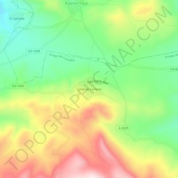
Name: Castil de Campos topographic map, elevation, terrain.
Average elevation: 671 m
Minimum elevation: 467 m
Maximum elevation: 936 m

Click on the map to display elevation.
Name: Castil de Campos topographic map, elevation, terrain.
Average elevation: 671 m
Minimum elevation: 467 m
Maximum elevation: 936 m