
Thank you for supporting this site ❤️
Make a donation
Make a donation
Jalihal topographic map
Click on the map to display elevation.
Thank you for supporting this site ❤️
Make a donation
Make a donation
About this map
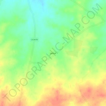
Name: Jalihal topographic map, elevation, terrain.
Location: Jalihal, Mangalvedhe, Solapur District, Maharashtra, India (17.37701 75.41405 17.41701 75.45405)
Average elevation: 506 m
Minimum elevation: 480 m
Maximum elevation: 533 m
Thank you for supporting this site ❤️
Make a donation
Make a donation