
Arungal topographic map
Click on the map to display elevation.
About this map
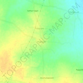
Name: Arungal topographic map, elevation, terrain.
Location: Arungal, Ariyalur, Tamil Nadu, India (10.99667 79.09061 11.03667 79.13061)
Average elevation: 59 m
Minimum elevation: 44 m
Maximum elevation: 71 m