
Goia topographic map
Interactive map
Click on the map to display elevation.
About this map
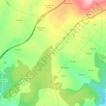
Name: Goia topographic map, elevation, terrain.
Location: Goia, Pradeda, Guntim, Lugo, Galiza, Espanha (42.88783 -7.69114 42.92783 -7.65114)
Average elevation: 537 m
Minimum elevation: 407 m
Maximum elevation: 697 m