
Thank you for supporting this site ❤️
Make a donation
Make a donation
Surbodi topographic map
Click on the map to display elevation.
Thank you for supporting this site ❤️
Make a donation
Make a donation
About this map
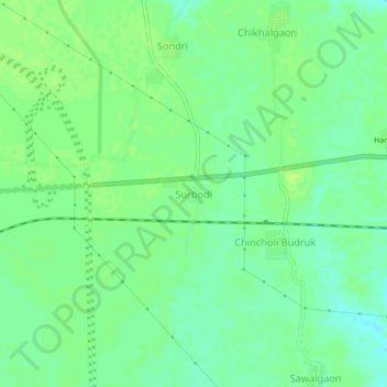
Name: Surbodi topographic map, elevation, terrain.
Location: Surbodi, Brahmapuri Taluka, Chandrapur, Maharashtra, India (20.59577 79.89225 20.63577 79.93225)
Average elevation: 222 m
Minimum elevation: 214 m
Maximum elevation: 227 m
Thank you for supporting this site ❤️
Make a donation
Make a donation
Other topographic maps
Click on a map to view its topography, its elevation and its terrain.
Bramhapuri Town
India > Maharashtra > Brahmapuri Taluka
Bramhapuri is one of the six divisions located in the northeastern part of Chandrapur district, Maharashtra at 20°22′N 79°31′E / 20.36°N 79.51°E / 20.36; 79.51 and has an average elevation of 229.5 metres (753 feet). The town is located in the 73rd Vidhan Sabha constituency in Maharashtra.
Average elevation: 226 m