
Augusta topographic map
Interactive map
Click on the map to display elevation.
About this map
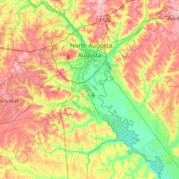
Name: Augusta topographic map, elevation, terrain.
Location: Augusta, Richmond County, Georgia, Estados Unidos de América (33.22717 -82.35387 33.54502 -81.82812)
Average elevation: 89 m
Minimum elevation: 21 m
Maximum elevation: 177 m