
Thank you for supporting this site ❤️
Make a donation
Make a donation
Relva topographic map
Click on the map to display elevation.
Thank you for supporting this site ❤️
Make a donation
Make a donation
About this map
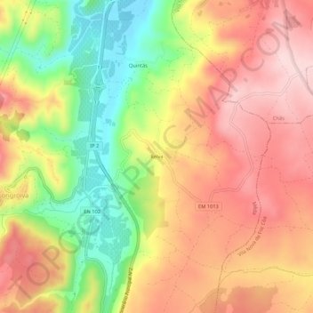
Name: Relva topographic map, elevation, terrain.
Location: Relva, Longroiva, Mêda, Guarda, Portugal (40.94881 -7.20605 40.98881 -7.16605)
Average elevation: 401 m
Minimum elevation: 249 m
Maximum elevation: 522 m
Thank you for supporting this site ❤️
Make a donation
Make a donation