
Pulikkanny topographic map
Click on the map to display elevation.
About this map
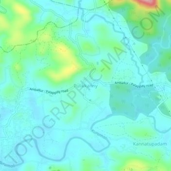
Name: Pulikkanny topographic map, elevation, terrain.
Location: Pulikkanny, Chalakkudy, Thrissur, Kerala, 680303, India (10.41613 76.34357 10.45613 76.38357)
Average elevation: 36 m
Minimum elevation: 6 m
Maximum elevation: 169 m
Other topographic maps
Click on a map to view its topography, its elevation and its terrain.