
Thank you for supporting this site ❤️
Make a donation
Make a donation
Halfeli topographic map
Click on the map to display elevation.
Thank you for supporting this site ❤️
Make a donation
Make a donation
About this map
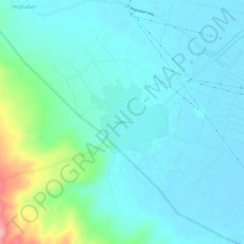
Name: Halfeli topographic map, elevation, terrain.
Location: Halfeli, Iğdır, Eastern Anatolia Region, Turkey (39.86679 43.96818 39.90679 44.00818)
Average elevation: 881 m
Minimum elevation: 854 m
Maximum elevation: 1,010 m
Thank you for supporting this site ❤️
Make a donation
Make a donation