
Thank you for supporting this site ❤️
Make a donation
Make a donation
Pajares topographic map
Click on the map to display elevation.
Thank you for supporting this site ❤️
Make a donation
Make a donation
About this map
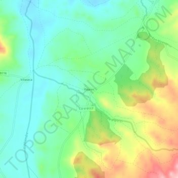
Name: Pajares topographic map, elevation, terrain.
Location: Pajares, Sotorribas, Cuenca, Castilla-La Mancha, España (40.29678 -2.21421 40.33678 -2.17421)
Average elevation: 957 m
Minimum elevation: 901 m
Maximum elevation: 1,073 m
Thank you for supporting this site ❤️
Make a donation
Make a donation