
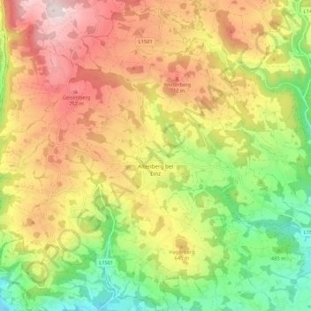
Altenberg bei Linz topographic map
Interactive map
Click on the map to display elevation.
About this map
Name: Altenberg bei Linz topographic map, elevation, terrain.
Average elevation: 573 m
Minimum elevation: 317 m
Maximum elevation: 843 m
Altenberg bei Linz liegt auf einer Höhe von 592 m ü. A. im oberen Mühlviertel. Die Ausdehnung beträgt von Nord nach Süd 7,8 km und von West nach Ost 7,6 km. Die Gesamtfläche beträgt 36 km².