
Thank you for supporting this site ❤️
Make a donation
Make a donation
Dieng Plateau topographic map
Click on the map to display elevation.
Thank you for supporting this site ❤️
Make a donation
Make a donation
About this map
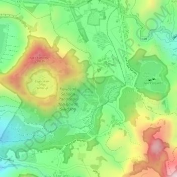
Name: Dieng Plateau topographic map, elevation, terrain.
Location: Dieng Plateau, Banjarnegara, Central Java, Java, Indonesia (-7.21584 109.90651 -7.21574 109.90661)
Average elevation: 2,101 m
Minimum elevation: 1,928 m
Maximum elevation: 2,331 m
Thank you for supporting this site ❤️
Make a donation
Make a donation
Other topographic maps
Click on a map to view its topography, its elevation and its terrain.