
Tumbler Ridge topographic map
Interactive map
Click on the map to display elevation.
About this map
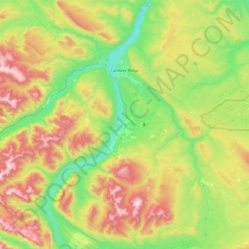
Name: Tumbler Ridge topographic map, elevation, terrain.
Average elevation: 1,153 m
Minimum elevation: 698 m
Maximum elevation: 2,059 m
Other topographic maps
Click on a map to view its topography, its elevation and its terrain.
Area E (Moberly Lake/Sukunka Valley)
Kanada > Britisch-Kolumbien > Peace River Regional District
Area E (Moberly Lake/Sukunka Valley), Peace River Regional District, Britisch-Kolumbien, V0C 1T0, Kanada
Average elevation: 1,025 m