
River Lugg topographic map
Interactive map
Click on the map to display elevation.
About this map
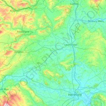
Name: River Lugg topographic map, elevation, terrain.
Location: River Lugg, Herefordshire, Inglaterra, HR6 8DS, Reino Unido (52.03110 -3.22119 52.36468 -2.62685)
Average elevation: 154 m
Minimum elevation: 43 m
Maximum elevation: 688 m