
Bostel topographic map
Interactive map
Click on the map to display elevation.
About this map
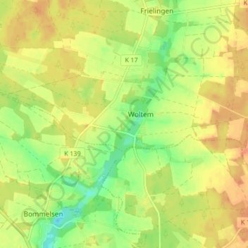
Name: Bostel topographic map, elevation, terrain.
Location: Bostel, Woltem, Soltau, Heidekreis, Niedersachsen, Deutschland (52.93891 9.69083 52.97891 9.73083)
Average elevation: 73 m
Minimum elevation: 52 m
Maximum elevation: 87 m