
南區 topographic map
Interactive map
Click on the map to display elevation.
About this map
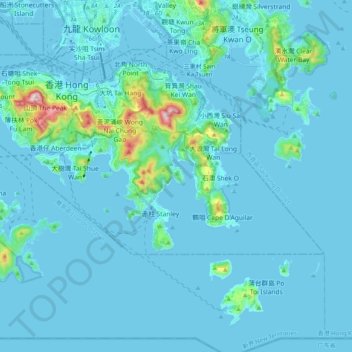
Name: 南區 topographic map, elevation, terrain.
Location: 南區, 香港島, 香港, 中国 (22.19265 114.11011 22.27561 114.30905)
Average elevation: 36 m
Minimum elevation: -6 m
Maximum elevation: 532 m
Other topographic maps
Click on a map to view its topography, its elevation and its terrain.