
Thank you for supporting this site ❤️
Make a donation
Make a donation
Madray Springs topographic map
Click on the map to display elevation.
Thank you for supporting this site ❤️
Make a donation
Make a donation
About this map
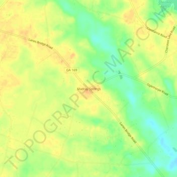
Name: Madray Springs topographic map, elevation, terrain.
Location: Madray Springs, Wayne County, Georgia, United States (31.71410 -81.99873 31.75410 -81.95873)
Average elevation: 43 m
Minimum elevation: 23 m
Maximum elevation: 56 m
Thank you for supporting this site ❤️
Make a donation
Make a donation
Other topographic maps
Click on a map to view its topography, its elevation and its terrain.