
Thank you for supporting this site ❤️
Make a donation
Make a donation
Judes topographic map
Click on the map to display elevation.
Thank you for supporting this site ❤️
Make a donation
Make a donation
About this map
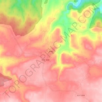
Name: Judes topographic map, elevation, terrain.
Location: Judes, Arcos de Jalón, Soria, Castilla y León, España (41.10654 -2.19674 41.14654 -2.15674)
Average elevation: 1,218 m
Minimum elevation: 1,074 m
Maximum elevation: 1,277 m
Thank you for supporting this site ❤️
Make a donation
Make a donation