
La Cienega topographic map
Interactive map
Click on the map to display elevation.
About this map
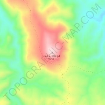
Name: La Cienega topographic map, elevation, terrain.
Location: La Cienega, Temósachic, Chihuahua, Mexico (28.66280 -107.97375 28.66290 -107.97365)
Average elevation: 1,921 m
Minimum elevation: 1,787 m
Maximum elevation: 2,096 m
Other topographic maps
Click on a map to view its topography, its elevation and its terrain.
El Cinco
Mexico > Chihuahua > Temósachic
El Cinco, Temósachic, Chihuahua, Mexico
Average elevation: 2,513 m