
Nansen topographic map
Interactive map
Click on the map to display elevation.
About this map
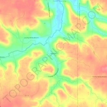
Name: Nansen topographic map, elevation, terrain.
Location: Nansen, Goodhue County, Minnesota, États-Unis d'Amérique (44.33024 -92.95187 44.37024 -92.91187)
Average elevation: 335 m
Minimum elevation: 289 m
Maximum elevation: 366 m