
Duke Homestead topographic map
Interactive map
Click on the map to display elevation.
About this map
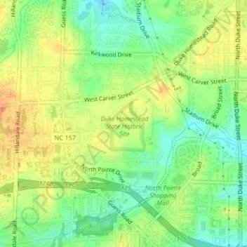
Name: Duke Homestead topographic map, elevation, terrain.
Location: Duke Homestead, Durham, Durham County, North Carolina, USA (36.03024 -78.92948 36.04048 -78.91365)
Average elevation: 118 m
Minimum elevation: 99 m
Maximum elevation: 135 m
Other topographic maps
Click on a map to view its topography, its elevation and its terrain.
Bennett Place
USA > North Carolina > Durham
Bennett Place, 4409, American Village, Durham, Durham County, North Carolina, USA
Average elevation: 150 m