
Thank you for supporting this site ❤️
Make a donation
Make a donation
CERRO LA COL topographic map
Click on the map to display elevation.
Thank you for supporting this site ❤️
Make a donation
Make a donation
About this map
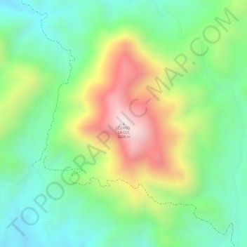
Name: CERRO LA COL topographic map, elevation, terrain.
Location: CERRO LA COL, Zapopan, Jalisco, Mexico (20.86794 -103.50777 20.86804 -103.50767)
Average elevation: 1,864 m
Minimum elevation: 1,646 m
Maximum elevation: 2,197 m
Thank you for supporting this site ❤️
Make a donation
Make a donation