
Thank you for supporting this site ❤️
Make a donation
Make a donation
Stöttinghausen topographic map
Click on the map to display elevation.
Thank you for supporting this site ❤️
Make a donation
Make a donation
About this map
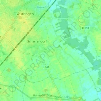
Name: Stöttinghausen topographic map, elevation, terrain.
Average elevation: 53 m
Minimum elevation: 45 m
Maximum elevation: 60 m
Thank you for supporting this site ❤️
Make a donation
Make a donation
Other topographic maps
Click on a map to view its topography, its elevation and its terrain.
27239
Deutschland > Niedersachsen > Landkreis Diepholz > Twistringen > Heiligenloh
Average elevation: 45 m
Thank you for supporting this site ❤️
Make a donation
Make a donation
Stelle
Deutschland > Niedersachsen > Landkreis Diepholz > Twistringen > Stelle
Average elevation: 52 m