
Tomohon topographic map
Interactive map
Click on the map to display elevation.
About this map
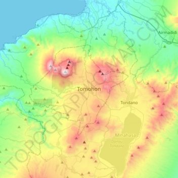
Name: Tomohon topographic map, elevation, terrain.
Location: Tomohon, Sulawesi du Nord, 95441, Indonésie (1.16559 124.67861 1.48559 124.99861)
Average elevation: 504 m
Minimum elevation: 0 m
Maximum elevation: 1,561 m
Other topographic maps
Click on a map to view its topography, its elevation and its terrain.
Mahawu
Indonésie > Sulawesi du Nord > Tomohon
Mahawu, Tomohon, Sulawesi du Nord, 95362, Indonésie
Average elevation: 1,070 m