
Thank you for supporting this site ❤️
Make a donation
Make a donation
St. Albert topographic map
Click on the map to display elevation.
Thank you for supporting this site ❤️
Make a donation
Make a donation
About this map
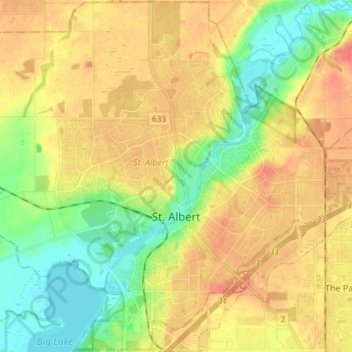
Name: St. Albert topographic map, elevation, terrain.
Location: St. Albert, Division No. 11, Alberta, Canada (53.59957 -113.71500 53.68732 -113.56563)
Average elevation: 677 m
Minimum elevation: 649 m
Maximum elevation: 704 m
Thank you for supporting this site ❤️
Make a donation
Make a donation