
Reisjå topographic map
Interactive map
Click on the map to display elevation.
About this map
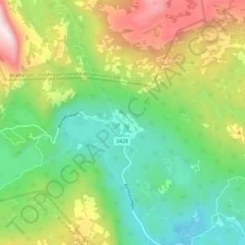
Name: Reisjå topographic map, elevation, terrain.
Location: Reisjå, Hjartdal, Telemark, Norway (59.76976 8.67043 59.80976 8.71043)
Average elevation: 852 m
Minimum elevation: 599 m
Maximum elevation: 1,296 m