
Thank you for supporting this site ❤️
Make a donation
Make a donation
Burg topographic map
Click on the map to display elevation.
Thank you for supporting this site ❤️
Make a donation
Make a donation
About this map
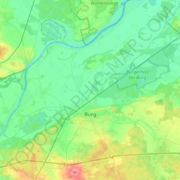
Name: Burg topographic map, elevation, terrain.
Location: Burg, Jerichower Land, Saxony-Anhalt, 39288, Germany (52.21206 11.72494 52.37218 11.98684)
Average elevation: 49 m
Minimum elevation: 29 m
Maximum elevation: 105 m
Thank you for supporting this site ❤️
Make a donation
Make a donation
Other topographic maps
Click on a map to view its topography, its elevation and its terrain.