
Thank you for supporting this site ❤️
Make a donation
Make a donation
Peca topographic map
Click on the map to display elevation.
Thank you for supporting this site ❤️
Make a donation
Make a donation
About this map
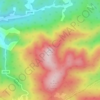
Name: Peca topographic map, elevation, terrain.
Location: Peca, Općina Ljubešćica, Вараждинская жупания, 48269, Хорватия (46.14739 16.45683 46.14749 16.45693)
Average elevation: 424 m
Minimum elevation: 245 m
Maximum elevation: 607 m
Thank you for supporting this site ❤️
Make a donation
Make a donation