
Thank you for supporting this site ❤️
Make a donation
Make a donation
Cedar Bluff topographic map
Click on the map to display elevation.
Thank you for supporting this site ❤️
Make a donation
Make a donation
About this map
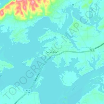
Name: Cedar Bluff topographic map, elevation, terrain.
Location: Cedar Bluff, Cherokee County, Alabama, 35959, United States (34.18021 -85.64749 34.26021 -85.56749)
Average elevation: 178 m
Minimum elevation: 163 m
Maximum elevation: 296 m
Thank you for supporting this site ❤️
Make a donation
Make a donation